Hamilton Mountain
Boundaries description
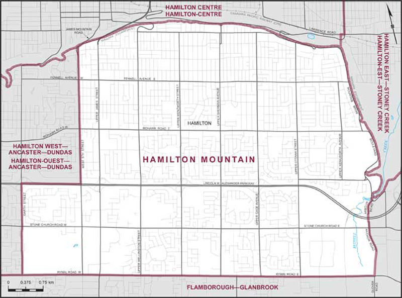
Consisting of that part of the City of Hamilton described as follows: commencing at the intersection of the Niagara Escarpment with Redhill Creek; thence westerly along said creek to Mountain Brow Boulevard; thence southerly along said boulevard to Arbour Road; thence generally southerly along said road, its intermittent production, Anchor Road and its southerly production to the intersection of Rymal Road East with Glover Road; thence westerly along Rymal Road East and Rymal Road West to Garth Street; thence northerly along said street to Lincoln M. Alexander Parkway; thence easterly along said parkway to West 5th Street; thence northerly along said street to James Mountain Road; thence generally northeasterly along said road to the Niagara Escarpment; thence generally easterly and generally southerly along said escarpment to the point of commencement.